

Title
Marine Magnetotelluric (MT) response functin
MTresp.tar (40 KB) 
Abstract
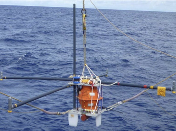
This data set is marine magnetotelluric response functions obtained at 9 sites along a transect across a segment at 13N in the southern Mariana Trough. The responses were processed from time-varying electromagnetic field data at seafloor obtained during a marine magnetotelluric experiment carried out in the YK10-10 cruise and the YK10-15 cruise with S/V Yokosuka. The x-axis of the coordinate system for the responses is set to N35E with respect to the true north. The files adhere to the SEG-EDI format.
Data Set Citation
Dataset Creator
Tetsuo Matsuno (Kobe University)
Dataset Title
Marine Magnetotelluric (MT) response functin
Personnel
Role
DIF AUTHOR
Contact
Tetsuo Matsuno Kobe University (matsuno@port.kobe-u.ac.jp)
Keyword List
ISO Topic Category
GEOSCIENTIFIC INFORMATION
Parameter
EARTH SCIENCE>SOLID EARTH>GEOMAGNETISM>ELECTRICAL FIELD
EARTH SCIENCE>SOLID EARTH>GEOMAGNETISM>MAGNETIC FIELD
Platform
Other
JAMSTEC
Start Date - End Date
- 2010-08-22 - 2010-11-12
Bounding Rectangle
- South Bound
- 12.681N
- North Bound
- 13.321N
- West Bound
- 143.046E
- East Bound
- 144.008E
Location
OCEAN>PACIFIC OCEAN
SOLID EARTH>MANTLE
VERTICAL LOCATION>SEA FLOOR
Originating Center
JAMSTEC
Organization
Organization Type
ORIGINATOR
Organization Name
Short Name
JAMSTEC
Long Name
Japan Agency for Marine-Earth Science and Technology
Personnel
Role
DATA CENTER CONTACT
Contact
dmo@jamstec.go.jp (dmo@jamstec.go.jp)
Related URL
Description
YK10-10 Cruise Data
Description
YK10-15 Cruise Data
Description
Marine Magnetotelluric (MT) response functin - Catalog Page
Last Metadata Revision Date
2022-11-24